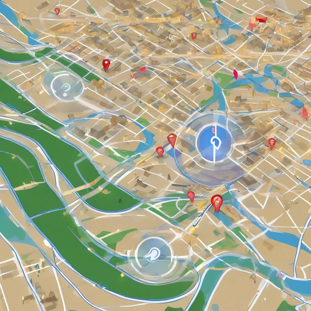
GPS technology, or Global Positioning System, has revolutionized the way we navigate and locate ourselves in the world. Originating from military applications, it has become an integral part of daily life, enabling accurate navigation, location tracking, and various location-based services. Understanding how GPS works involves delving into its key components, such as satellites, ground stations, and GPS receivers. By tracking signals from satellites above, GPS can determine precise locations, providing essential data for smartphones, vehicles, and more. This article will explore the mechanisms, applications, and future of GPS technology.
What is GPS Technology?
GPS stands for Global Positioning System, a satellite-based navigation system that allows individuals to determine their precise location anywhere on Earth. Originally developed by the U.S. Department of Defense, GPS was primarily for military use but has since evolved into a technology that supports a variety of civilian applications. By utilizing a constellation of satellites that orbit the Earth, GPS provides users with three-dimensional location information including latitude, longitude, and altitude. This capability has not only facilitated navigation for drivers and travelers but has also enhanced services in sectors like logistics, emergency response, and agriculture.
How GPS Works: The Basic Principles
GPS operates by triangulating the position of a user based on signals received from multiple satellites. The system relies on at least four satellites to determine an accurate location in three-dimensional space. Each satellite continually transmits a signal that includes its location and the exact time the signal was sent. A GPS receiver on the ground picks up these signals and calculates the time delay for each signal to arrive. By using the speed of light, the receiver can ascertain its distance from each satellite. This distance data is then used to triangulate the receiver’s precise position on Earth.
Components of GPS Technology
The GPS system is comprised of three major components: satellites, ground control stations, and GPS receivers. The satellites, orbiting approximately 12,500 miles above Earth, continuously transmit navigation signals. These satellites are strategically placed to ensure that at least four are visible from any location on the planet at any given time. Ground control stations monitor the satellites’ positions and ensure their accuracy. Finally, GPS receivers, such as those found in smartphones and vehicles, interpret the signals from multiple satellites to provide location data and navigation capabilities.
Types of GPS Signals
GPS signals can be classified into three main categories: L1, L2, and L5, each serving different purposes. The L1 signal, operating at 1575.42 MHz, is primarily used for civilian navigation and is the most commonly received signal. L2, at 1227.60 MHz, is mainly used for military purposes but is increasingly being made available to civilian users, improving accuracy. L5 is the new and advanced signal that offers enhanced safety features and higher precision. These differing signals allow for varied applications, catering to both civilian and military needs with increased reliability.
Applications of GPS Technology
The applications of GPS technology are vast and diverse, impacting various sectors. In transportation, GPS is invaluable for navigation, fleet management, and real-time traffic updates. It enhances the efficiency of logistics and supply chain operations by enabling precise tracking of goods. In agriculture, GPS guides precision farming techniques, optimizing crop yields based on accurate field mapping. Emergency services use GPS for quick response times, locating callers in distress. Personal navigation applications on smartphones also leverage GPS for everyday navigation, enhancing convenience for users across the globe.
Challenges and Limitations of GPS
Despite its many advantages, GPS technology faces several challenges and limitations. One significant issue is signal obstruction, which can occur in urban environments with tall buildings or dense forests, resulting in inaccurate location data. Additionally, GPS signals can be vulnerable to interference and jamming, which poses risks for navigation and safety. Moreover, the accuracy of GPS can be compromised by atmospheric conditions and multipath effects, where signals bounce off structures before reaching the receiver. Acknowledging these challenges is crucial in developing alternative solutions and improving the reliability of GPS technology.
Future of GPS Technology
The future of GPS technology looks promising with the integration of advanced features and enhanced systems. Emerging technologies such as augmented reality and the Internet of Things (IoT) are expected to leverage GPS for providing richer, context-aware services. Upgrades to the GPS satellite constellation will introduce new signals, increasing accuracy and reliability for civilian applications. Research is also underway to enhance GPS resiliency against interference and to improve integration with other positioning systems, such as GLONASS and Galileo, providing a global network that enhances navigational capabilities across various mediums.
Conclusion
GPS technology has fundamentally changed how we approach navigation and location-based services. By understanding its principles, components, and applications, users can appreciate its significance in modern life. While challenges remain, ongoing advancements promise to enhance GPS capabilities, making them even more integral to diverse industries and personal use. As technology evolves, the potential for GPS to provide innovative solutions continues to grow, ensuring its relevance in our increasingly connected world.